Osgoode
Explore Osgoode’s village setting, schools, parks, essential services and connections to Ottawa.
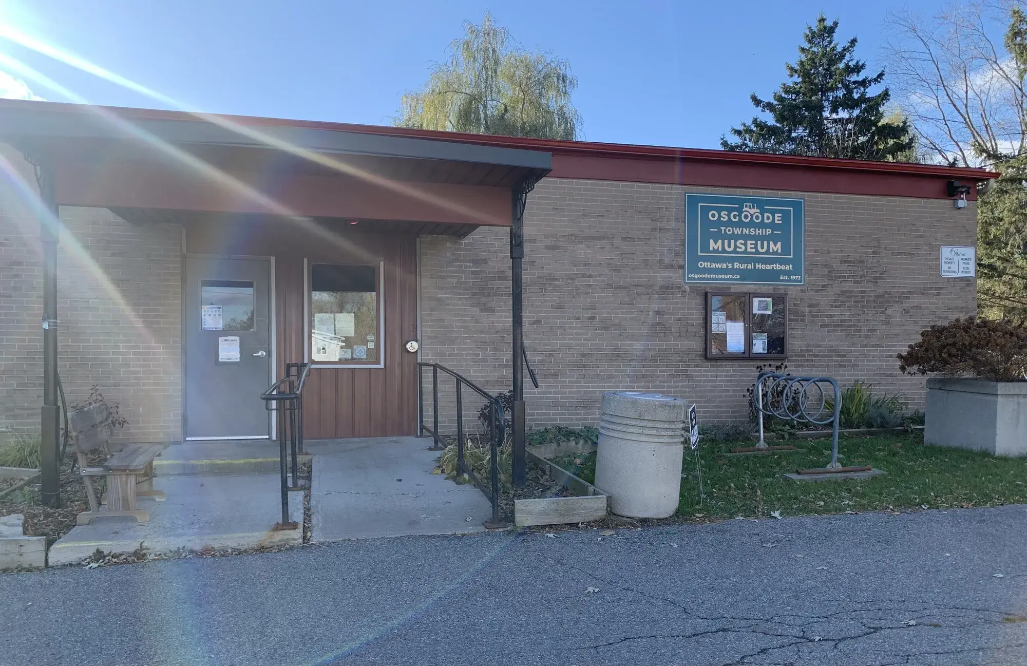
Osgoode is a village in rural south Ottawa, within Osgoode Ward. Its railway history includes service on the Bytown–Prescott line, with Osgoode appearing in an 1854 timetable. Local destinations along Osgoode Main Street include the library and the community centre with Stuart Holmes Arena. The former railway corridor also became a recreational pathway. By car, downtown Ottawa (Parliament Hill) is about 47.9 km away, roughly 39 minutes in free-flowing traffic (OSRM estimate).
Updated · Facts on this page link to their sources
About Osgoode
Osgoode is a village in rural south Ottawa, within Osgoode Ward. Its railway history includes service on the Bytown–Prescott line, with Osgoode appearing in an 1854 timetable. Local destinations along Osgoode Main Street include the library and the community centre with Stuart Holmes Arena. The former railway corridor also became a recreational pathway.
Boundaries
Definitions vary: the City's planning boundary is mapped on Schedule Q, Village of Osgoode, in the Consolidated Villages Secondary Plan. The community association describes a wider area extending from the Rideau River in the west to an eastern line through Stagecoach Road and Fourth Line Road, with a northern limit just north of Waterfront Road and a southern limit along Dalmeny Road to the river. These association limits are not a substitute for the City's village boundary. documents.ottawa.ca openstreetmap.org
Homes
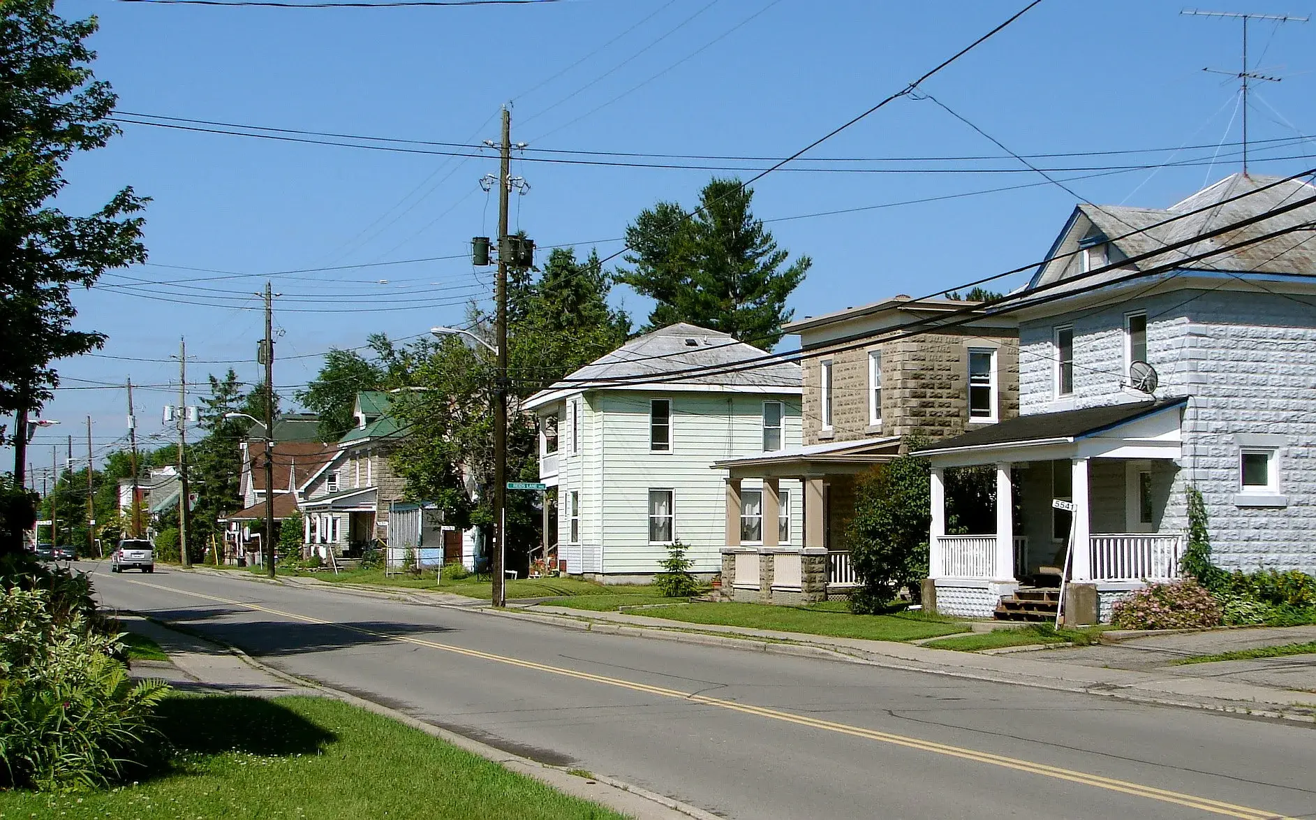
City planning records document existing detached dwellings north of the Reids Lane development site and smaller residential lots fronting Osgoode Main Street in the village core. The December 2025 report describes village residential policy as generally low rise and low density. It also discusses a proposed subdivision, which should not be treated as evidence of completed homes; a village-wide breakdown of construction eras and dwelling types was not verified. webcast.ottawa.ca
- Osgoode library on Main Street
- Stuart Holmes Arena and adjacent play facilities
- Doug Thompson Pathway, formerly the Osgoode Link
- Rideau River access at nearby W.A. Taylor Conservation Area
- Teen drop-in programming through O-YA
- Porchfest performances hosted on residents' porches
Community
- 1854
An Ottawa Citizen timetable dated 4 November 1854 lists Osgoode as a stop between Gloucester and Kemptville on the railway to Prescott. churcher.crcml.org
- 1925
The Osgoode library traces its beginnings to 1925. about.biblioottawalibrary.ca
- 1962
The village was known as Osgoode Station until 1962. en.wikipedia.org
- 1990
The present Osgoode library building was built with community support. about.biblioottawalibrary.ca
- 2001
Osgoode became part of the amalgamated City of Ottawa, having previously been in Osgoode Township. en.wikipedia.org
- 2004
The Osgoode Village Community Association was established on 2 March. osgoodevillage.org
- 2011
The multi-use pathway on the former rail corridor officially opened in June. pub-ottawa.escribemeetings.com
Around Osgoode
Walking rings at 5, 10 and 15 minutes from the neighbourhood centre.
Schools
1 nearbyOsgoode Public School
OCDSBGrades JK–65590 Osgoode Main Street, Osgoode, ONosgoodeps.ocdsb.ca openstreetmap.org
1.0 km13 min walk
Straight-line distances from the Osgoode centre. Living near a school does not guarantee a place: confirm the designated school for an address with each board. All schools and board locators.
Parks & places
10 nearbyOsgoode Youth Association
450 m6 min walkTaylor Park
480 m6 min walkJoella Park
830 m10 min walkPeace Park
870 m11 min walkFerdinand Park Walkway
1.1 km14 min walkOttawa Public Library - Osgoode Branch
1.2 km15 min walkOsgoode Community Centre Ice Rink
1.3 km16 min walkOsgoode Community Centre
1.3 km17 min walkOsgoode Village Park
1.5 km19 min walkW.A. Taylor Conservation Area
1.6 km20 min walk
Shops & dining
2 nearbyOsgoode Pharmacy
1.3 km16 min walkFoodland
1.4 km18 min walk
Getting around
TransitVillage bus
OC Transpo identifies Route 304 as a Thursday shopper service. Its published route map connects Osgoode with Metcalfe, Greely, South Keys and Billings Bridge; it is not a daily commuter timetable. Confirm the travel date, stops and return trip with OC Transpo.
Park & Ride
The City lists Bowesville and Leitrim as Park & Ride locations. Reaching either from Osgoode requires a separate first leg; these stations are outside the village.
O-Train connection
A route to the downtown core is Line 2 north to Bayview, then Line 1 east. Bowesville and Leitrim are shown on Line 2.
Road access
Osgoode Main Street connects River Road and Stagecoach Road. The River Road/Riverside Drive corridor provides a northbound route towards urban Ottawa; no fixed village-to-downtown driving distance or time is asserted.
For sale in Osgoode
No Osgoode homes on osgoode.homes right now
Selling here? Get a website for your home, or browse every home for sale in the area.
Neighbouring areas
Quick answers
Short answers first; each links to the full answer and its sources.
Is Osgoode a good place to live?
Osgoode has a village elementary school, an Ottawa Public Library branch and a community centre with an arena. Its published Route 304 bus service operates on Thursdays, which is an important practical consideration for daily travel.
As of 2026-10-30 · osgoodeps.ocdsb.ca about.biblioottawalibrary.ca
Where is Osgoode?
Osgoode is a village in the rural south of the City of Ottawa, Ontario, within Osgoode Ward. The village is east of the Rideau River.
As of 2026-10-30 · en.wikipedia.org
What are homes like in Osgoode?
Osgoode includes detached homes and smaller residential lots along its main street, as documented in a City planning report for Reids Lane. The report describes village residential policy as generally low rise and low density; it does not provide a complete inventory of existing homes.
As of 2026-10-30 · webcast.ottawa.ca
Are Osgoode village, Osgoode Ward and Osgoode Township the same place?
They are different geographic references: Osgoode is a village within Osgoode Ward, while Osgoode Township was the former municipality. The village became part of the City of Ottawa through amalgamation in 2001.
As of 2026-10-30 · en.wikipedia.org
Where do Osgoode's boundaries start and end?
The official village planning boundary is shown on the City's Schedule Q map for Osgoode. The community association uses a wider area reaching the Rideau River and Dalmeny Road, so its definition should not be used as the planning boundary.
As of 2026-10-30 · documents.ottawa.ca osgoodevillage.org
What is the population of Osgoode?
Statistics Canada counted 2,535 residents in the Osgoode population centre in the 2021 Census. That geography covered 2.97 km² and is not the whole of Osgoode Ward.
As of 2026-10-30 · www150.statcan.gc.ca